 how-to
How Do You Calculate a Delivery Radius Distance?
Last Updated: October 29, 2026
Quick Summary
A delivery radius is the circle drawn around your shop or kitchen that marks how far you will deliver. Draw a circle at your target distance, then check the edge addresses using driving distance and drive time, since roads are often longer than a straight line.
- Start with the exact address where orders leave, not the mailing address.
- Straight-line distance gives a quick first draft, but driving distance is what you should price against.
- Sample 8 to 12 addresses around the edge and record their driving distance and drive time.
- If driving distance is more than about 1.5 times straight-line distance, treat that area as an exception or pickup only.
- Save the final zone and review it regularly as roads and traffic change.
Table of Contents
- What a Delivery Radius Means for Your Business
- Straight-Line Distance vs Driving Distance
- Step-by-Step: Calculating a Delivery Radius From Your Business Address
- Using a Delivery Radius Calculator
- Delivery Area Examples
- Delivery Radius Best Practices
- Ordering Your Next Vitality Nutrition LLC Delivery or Pickup
- Frequently Asked Questions
What a Delivery Radius Means for Your Business
Most customers want their order fast, so your delivery radius is the distance you are willing to deliver from your location. Knowing how to calculate that distance helps you decide where delivery makes sense and where pickup is the better choice.
A delivery radius is a circle drawn around one point. That point is usually your shop or kitchen. Everything inside the circle is in your delivery zone, and everything outside it is not. Simple idea, but the details matter.
Here is what a radius controls:
- Which addresses qualify for delivery at all
- How long orders take to reach customers
- Whether your drivers spend more time driving than delivering
- Which customers should be offered curbside pickup instead
Watch out: A circle on a map looks neat, but drivers travel on roads, not through the air. A house can sit inside the circle and still be a long drive away.
Straight-Line Distance vs Driving Distance
Straight-line distance is the direct path from your location to a customer, as the crow flies. Driving distance is the actual route a driver follows on roads. The driving distance is almost always longer, and the gap is where most delivery-radius mistakes happen. Compare delivery and pickup timing to see how distance affects how quickly your order arrives.
Here is a worked example you can replicate with any mapping tool. Say your shop sits on one side of a river, and a customer lives directly across the water. On a map, the two points may be 2.5 miles apart in a straight line. But if the nearest bridge is three miles up the road, the actual drive could be 8 miles or more. A circle drawn at a 7-mile radius would include that customer, yet the driver covers more ground than the circle suggests.
The opposite can also happen. In a dense grid of streets with good connections, a 5-mile straight-line radius may translate to only 5.5 or 6 miles of driving. There, the circle understates how much territory you can realistically serve.
Use this three-step method to reconcile the two:
- Draft with straight-line distance. Enter your address and target radius in a mapping tool to get a first-pass circle. This is fast and free.
- Sample the edge. Pick 8 to 12 addresses around the perimeter of the circle, especially where the circle crosses a river, highway, rail line, or park. Run each through a routing tool and record the driving distance and drive time.
- Trim or extend. Where driving distance exceeds your target by a wide margin, pull the boundary inward on that side. Where driving distance is close to straight-line, you can keep the circle as-is.
A simple rule of thumb many operators use: if the driving distance for an edge address is more than about 1.5 times the straight-line distance, that area is a poor fit for a radius-based zone and should be handled as an exception or offered pickup only.
- Straight-line: good for an early estimate and a quick visual
- Driving distance: what your driver actually covers and what you should price against
- Drive time: what the customer actually waits, and the number most likely to drive complaints
Watch out: A circle on a map looks neat, but drivers travel on roads, not through the air. A house can sit inside the circle and still be a long drive away.
Step-by-Step: Calculating a Delivery Radius From Your Business Address
Follow these steps to build a radius you can use.
- Confirm your starting address. Use the exact address where orders leave, not the mailing address.
- Pick your target distance. Choose a number such as 7 miles, based on how far you can deliver while keeping times reasonable.
- Draw the circle on a map. Use a mapping tool that lets you enter a radius.
- Check the edges by road. Test several addresses at the boundary using a routing tool.
- Adjust for barriers. Trim areas that are close by air but far by road.
- Save the final zone. Keep a record so your team uses the same boundary every time.
Choosing a central delivery point
Your central point should be the spot where orders are packed and leave. For most small businesses, that is the storefront or prep kitchen. If you use more than one location, calculate a separate radius for each.
Avoid using a city center or a general town name. A point that is even a few blocks off can shift the whole circle.
Drawing the circle on a map
Once you have your point, most mapping tools let you draw a circle of a set radius. Enter your target distance, then review the shape. Look for places where the circle crosses a river, highway, or lake without a nearby bridge. Those areas are often bad candidates for delivery.
Watch out: Map tools may measure in miles or kilometers. Confirm the unit before you trust the number.
The steps below summarise the core process for turning a target distance into a usable delivery zone.
Step | What to do | Time or frequency |
|---|---|---|
Confirm starting address | Use the exact address where orders leave | Once, before drawing |
Pick target distance | Choose a radius such as 7 miles | Based on reasonable delivery times |
Draw the circle | Use a mapping tool with a radius setting | Quick first pass |
Check edges by road | Test boundary addresses with a routing tool | Before saving the zone |
Adjust for barriers | Trim areas close by air but far by road | As needed |
Save the final zone | Keep a record so the team uses one boundary | Reuse every time |
Using a Delivery Radius Calculator
A delivery radius calculator takes your address and distance and outputs a circle. Many calculators also let you enter a travel time instead of a distance, which can give a more realistic zone.
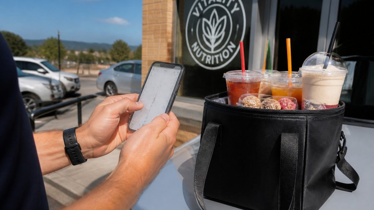
Before you rely on one, check three things:
- Does it show driving distance or only straight-line distance?
- Can you save or export the zone?
- Does it show the units clearly?
Using a calculator for the first draft and then verifying the edges with a routing tool is a practical approach. A calculator gives you speed. A road check gives you accuracy.
Delivery Area Examples
Here is how the steps look in practice. Learn how TeaDash delivery in Bristol works to see how the delivery area applies to your address.
Suppose a shop sits near a major highway. A 5-mile circle around it may look balanced on the map. But the highway has only two crossings. Homes on the far side may take 20 minutes to reach by road, even though they are close in a straight line. In that case, trim the zone on that side or offer pickup only.
A different shop in a flat, grid-street area may find that a 7-mile circle matches driving distance closely. Its zone can stay close to the circle.
Your own zone will depend on local roads, traffic, and how many drivers you have.
Delivery Radius Best Practices
A delivery radius is not a set-and-forget number. It is a boundary you tune as roads, order volume, and costs change. These practices connect the circle on the map to the money and time it takes to serve it.
Tie the boundary to delivery economics. Every delivery carries a cost: driver time, fuel, wear on the vehicle, and the opportunity cost of that driver not being available for the next order. Accounting for these variables becomes even more complex when planning delivery times across vast geographic regions where transit conditions fluctuate significantly.
Use distance bands instead of one hard edge. Rather than a single 7-mile cutoff, many operators use two or three rings, for example, a close band, a middle band, and an outer band. Each band can carry its own minimum order or fee structure. This lets you serve nearby customers cheaply while still reaching farther addresses that meet a higher threshold. It also gives you a clean way to explain boundaries to customers: 'Inside band one, standard delivery; band two, minimum order applies.'
Check drive time, not just distance. Two addresses the same distance away can take very different amounts of time depending on traffic, stoplights, and highway access. If a route routinely takes longer than your target, shrink the zone on that side even if the distance looks fine. Drive time is what the customer experiences.
Validate edge addresses before you publish a boundary. Boundary addresses are where disputes happen. Test the specific streets, apartment complexes, and business parks that sit near the line.
Handle exceptions with a written rule. Bridges, rivers, rail lines, one-way streets, and restricted areas create addresses that break the circle logic. Keep a short exceptions list with a clear rule for each: deliver, decline, or offer curbside pickup.
Review on a schedule. New roads, new housing, and shifting traffic patterns change what is reachable. Put a recurring review on the calendar, every few months is a common cadence, and recheck your edge addresses each time. Small adjustments now prevent a zone that quietly stops working.
Keep one shared map and one shared rulebook. Everyone who takes orders, dispatches drivers, or answers the phone should work from the same boundary and the same exceptions list. A single source of truth prevents the 'but the map says I'm inside' conversation.
Offer pickup outside the zone. Customers outside the delivery area still want their drinks. Make curbside pickup easy to find and explain, so a declined delivery becomes a pickup instead of a lost order.
Most of these practices come down to one idea. The circle is a starting point. The road network, the drive time, and the cost of serving each band decide the final boundary.
Ordering Your Next Vitality Nutrition LLC Delivery or Pickup
TeaDash delivery is available up to 10 miles for eligible addresses and is fulfilled by independent drivers through Square. Enter your address at Square checkout to confirm availability and see the delivery fee; a map circle alone does not confirm eligibility. Any delivery tip goes directly to your driver. Free curbside pickup is also available. Follow these steps to order for pickup and collect your order at the curb.
Check our website for current menu items, hours, and delivery details before you order. Whether you are grabbing a loaded tea for yourself or a round of drinks for the office, we want the order to arrive fast and in good shape. Start your order today and see what works best for your schedule.
Frequently Asked Questions
How do you calculate a delivery radius?
Start with your business address and pick a maximum distance you can serve reliably. Mark that address on a map, then draw a circle using that distance as the radius. Addresses inside the circle fall within your delivery area. Because a circle ignores roads, confirm borderline addresses by checking the actual driving route before you accept the order.
How do you measure a radius on a map?
Most mapping tools let you place a pin on your business address and draw a circle from that point. Set the circle's radius to your chosen distance in miles. Some tools also let you measure a route between two points, which gives driving distance. Use the circle to see the general coverage and the route measurement to check individual addresses.
Is delivery radius measured as a straight line or driving distance?
A radius drawn on a map is a straight-line distance. Driving distance follows roads and is almost always longer, sometimes much longer where rivers, highways, or dead-end streets intervene. Many businesses set the radius as straight-line for simplicity, then exclude addresses whose driving distance or drive time exceeds their limit.